A "Steep
rock-infested ditch' with only fame
to recommend it?
Or perhaps, in low water, a "cracking
kayak run”?
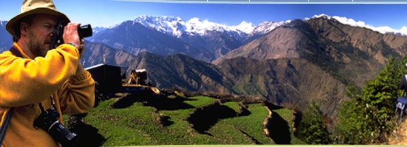
The River
The Dudh Kosi has been
called the "Relentless river
of Everest" because it's on the
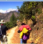
main trail to Everest Base Camp and
so thousands of trekkers and mountaineers
have walked along part of it and also
of course, because of kayaking films
and books. This is a  convenient
but misleading label as it's only
one of its tributaries, The Imja Khola
that actually starts from the Khumbu
Glacier. This in itself is only one
of four glaciers that start on the
mountain; the other three drain to
tributaries of the Arun, a much more
powerful river, that has a perhaps
stronger claim to be the ever of Everest.
convenient
but misleading label as it's only
one of its tributaries, The Imja Khola
that actually starts from the Khumbu
Glacier. This in itself is only one
of four glaciers that start on the
mountain; the other three drain to
tributaries of the Arun, a much more
powerful river, that has a perhaps
stronger claim to be the ever of Everest.
This is steep river: the majority
of the upper river has a gradient
of up to 12 m/km (600 ft a mile) flowing
in a deep gorge with the trail a long
way above. Namche Bazar the gradient
is more reasonable and further downstream,
south or the main trekking route,
the gradient again becomes less steep
making for some good kayaking down
to near Rasuwa where the river becomes
almost flat for the 32 km to it's
confluence with the Sun Kosi.
The Dudh Kosi has seen several huge
floods that have scoured out the river
bed and washed away the usual rounded,
water-worn boulders: leaving instead
jagged social debris all the way down
the river- hence the derogatory but
perhaps apt description 'rock-infested
ditch" that has been coined by
those who have kayaked. These floods
have mainly been caused by 'GLOFs'
- glacial lake outburst foods. One
in August 1985 had a flow of 11,600
cumecs, 17 times the average in August.
A ten meter high tidal wave of water,
mud and debris crushed homes, swept
away bridges, removed whole fields,
and gouged out a new river: those
who had kayaked the river in 1976
didn't recognize it when they turned
ten years later.